Imagine walking through a quiet neighborhood today picturing it turn into the next tech hub.
"Our AI scans satellite images to spot where construction is ramping up, infrastructure projects are in motion, and green spaces are giving way to new developments. Before the market notices, you'll already be investing in the future."
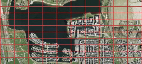
Area Sattelite Grid
First step is dividing an area into a grid of 10x10 screenshots to define the area of interest.

AI Satellite Scanning
Our AI analyzes satellite imagery to identify potential growth areas.
Investment Insights
Actionable recommendations based on AI-driven predictions.